

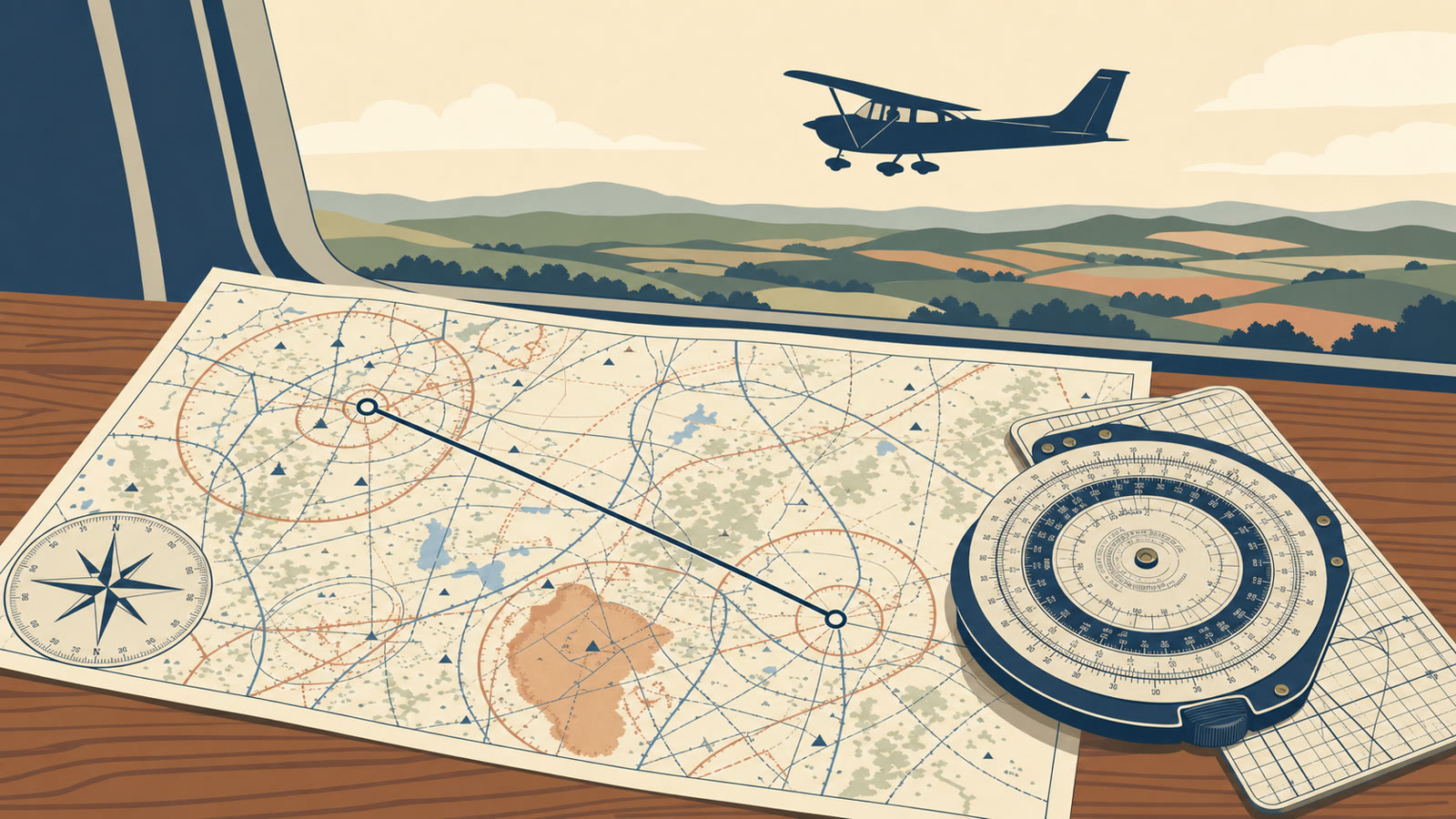
The Problem With Magenta-Line Tunnel Vision
Every modern trainer has a GPS moving map, and most students learn to fly a cross-country by pointing the airplane at a magenta line and following it. The line is accurate and updates in real time, which makes navigation look almost automatic. That is exactly the problem. Students who fixate on the magenta line stop scanning the ground, stop cross-checking their position against anything independent, and stop thinking about what they would do if the screen went dark. Instructors call this magenta-line tunnel vision: heads-down navigation by glowing course line instead of heads-up navigation by chart, clock, and outside references.
The FAA has not kept pilotage and dead reckoning in pilot training because GPS makes them optional. They remain the redundancy layer underneath GPS, not a competing method to be phased out. This is not an anti-GPS argument. GPS is an excellent primary navigation tool for VFR flight. The point is that a pilot who can only navigate by GPS has exactly one system, and single points of failure are precisely what good training is designed to eliminate.
The Three VFR Navigation Methods
The Pilot's Handbook of Aeronautical Knowledge, FAA-H-8083-25C, Chapter 16 (Navigation) defines three methods used for VFR cross-country flying:
- Pilotage: navigation by reference to visible landmarks or checkpoints on the ground, cross-checked against a chart.
- Dead reckoning: navigation by computation, using time, airspeed, distance, and direction, adjusted for wind, to predict heading and groundspeed between known points.
- Radio navigation: navigation using electronic aids, historically VOR and NDB, and today primarily GPS.
PHAK Chapter 16 is explicit that these methods work together, not in isolation. Dead reckoning is normally flown in conjunction with pilotage, with the computed heading and groundspeed constantly monitored and corrected by what the pilot actually sees out the window. Radio navigation, including GPS, supplements visual reference to the ground rather than replacing it. VFR pilots should never rely solely on one system of navigation, and GPS should be integrated with pilotage and dead reckoning, not used instead of them (PHAK Ch. 16). Every leg of a cross-country flight should be checked by at least two of the three methods. If the GPS course line and the sectional chart disagree about position, that disagreement is information, not an inconvenience to be dismissed.
Pilotage Fundamentals
The VFR Sectional Chart is the primary tool for pilotage, not a backup to the GPS moving map. In a properly built navigation plan, the chart comes first and the GPS confirms what the chart already predicted. Reading a sectional well requires knowing several categories of symbols:
- Airports: symbol shape and fill indicate whether services are available, whether the airport is towered, and runway lighting status.
- Obstructions: towers and other obstacles are charted with height figures given in both feet above ground level (AGL) and mean sea level (MSL), separated by a slash.
- Terrain: contour lines and shaded relief show elevation changes, critical for both obstacle clearance and for recognizing terrain features from the air.
- Airspace boundaries: different line styles and colors depict Class B, C, D, and E airspace, along with Special Use Airspace.
- VORs: depicted with their frequency, identifier, and a compass rose oriented to magnetic north.
- Roads, rivers, and rail lines: linear features that make excellent landmarks because they are long, visible from altitude, and hard to confuse with terrain.
The Chart Supplement (formerly the Airport/Facility Directory) provides detail a sectional cannot fit on its face: runway dimensions, communication frequencies, fuel availability, field elevation, and airport-specific remarks. Pull the Chart Supplement entry for every airport along the route, not just the destination.
The chart legend is the answer key for all of this. Every symbol is documented there, and many checkride failures trace back to a student guessing at a symbol instead of looking it up. When selecting landmarks for pilotage, prioritize features that are prominent, unique, and identifiable from cruise altitude: a large lake, a stadium, an interstate interchange, or a distinct river bend beats a generic grove of trees or an unremarkable farm road.
Dead Reckoning Fundamentals
Dead reckoning, as defined in PHAK Chapter 16, is navigation solely by computations based on time, airspeed, distance, and direction. Each leg requires:
- Measuring the true course from the sectional chart.
- Applying forecast wind data to compute a wind correction angle and groundspeed.
- Converting true heading to magnetic heading using the local magnetic variation.
- Computing estimated time enroute (ETE) between checkpoints.
- Computing fuel burn for each leg from the aircraft's known consumption rate.
This process is built on the wind triangle, described in PHAK Chapter 16 as the pilot's version of vector analysis and the basis of dead reckoning. It graphically resolves the relationship between course, heading, track, wind, airspeed, and groundspeed. A pilot flying a true course of 090 degrees into a 40-knot wind from 045 degrees, for example, needs a wind correction angle applied to the course so the resulting heading produces a track that matches the intended course. Students should be able to work this by hand before leaning on automation (PHAK Ch. 16).
The E6B flight computer, whether the classic slide-rule version, an electronic model such as the CX-2, or an app-based equivalent, is the standard tool for running these calculations quickly. PHAK Chapter 16 notes that most pilots use a mechanical or electronic flight computer rather than working formulas by hand in flight, but the underlying formulas need to be understood first. A pilot who only pushes buttons on an E6B without understanding what the numbers mean cannot sanity-check a bad answer.
The output of dead reckoning is a set of predictions: an estimated time enroute (ETE) for each leg, a cumulative estimated time of arrival (ETA), and a fuel burn estimate. Those predictions are what pilotage checks against in flight. If the airplane crosses a checkpoint significantly earlier or later than predicted, that is often the first sign something is wrong with the wind forecast, heading, or groundspeed, sometimes before the GPS ETE catches up to reality.
How to Read a Sectional: Elements Students Miss
Several sectional chart elements get skipped by students who are moving fast through flight planning, and all of them matter on both the checkride and in actual flight:
- Maximum Elevation Figure (MEF): printed in each quadrangle, the MEF represents the highest elevation, including terrain and obstructions, within that quadrangle, and is the baseline for selecting a safe cruising altitude (PHAK Ch. 16).
- Magnetic variation: shown as broken magenta isogonic lines connecting points of equal variation, with the agonic line marking zero variation. PHAK Chapter 16 gives the memory aid "east is least, west is best" for whether variation is added or subtracted when converting true course to magnetic heading.
- Airspace floors and ceilings: Class B, C, D, and E airspace are each depicted with distinct line styles, with floor and ceiling altitudes printed directly on the chart next to the boundary.
- Special Use Airspace: Military Operations Areas (MOAs), restricted areas, and prohibited areas are outlined with their own symbology and identified by name, with activity times and controlling agency contact information in the margin or the Chart Supplement.
- VOR compass roses and radials: the compass rose printed around a VOR symbol allows a pilot to measure an approximate course or determine position using a straightedge, even without plotting equipment, useful for both planning and in-flight diversions.
Skipping any of these removes a layer of safety margin that costs nothing to check ahead of time.
GPS as a Tool, Not the Plan
GPS earns its place as the primary navigation source for most VFR cross-country flights. It is accurate, reduces workload, and improves situational awareness when used correctly. PHAK Chapter 16 is equally clear about the risk: receivers without RAIM (Receiver Autonomous Integrity Monitoring) capability, which includes many handheld and older panel-mount units, cannot alert the pilot if the position solution has degraded. Database currency matters too. An outdated database can display Special Use Airspace or Class B boundaries incorrectly, and pilots have flown into airspace they were trying to avoid because of an out-of-date moving map (PHAK Ch. 16).
14 CFR 91.103 requires a pilot in command to become familiar with "all available information" concerning a flight before departure, not just what a GPS-generated flight plan shows. That means checking NOTAMs, weather, chart data, and airspace status independently. In flight, it means treating the GPS position as one input, not the only input: cross-check it against sectional landmarks regularly, not just at the start and end of the flight. If the GPS shows a position that does not match what is visible outside, or a course through airspace that looks wrong on the chart, the chart and the outside world win the argument until proven otherwise. If GPS fails or displays data that makes no sense, such as an impossible groundspeed or a jumping position, revert immediately to the dead reckoning plan and confirm it with pilotage, rather than troubleshooting the box while the airplane flies itself somewhere unknown.
Flight Planning Workflow
A dependable planning sequence, whether done entirely on paper or with an EFB backed up by paper:
- Draw the course line. Plot the route on a current sectional, even when the primary planning tool is ForeFlight or Garmin Pilot. The paper chart is the backup that does not need batteries.
- Break the course into legs. Place checkpoints roughly every 10 to 15 NM, chosen for the pilotage qualities described earlier: prominent, unique, and visible from cruise altitude.
- Note the MEF along the route. Record the highest MEF for each quadrangle the course passes through and select a cruising altitude with adequate margin above it.
- Run the dead reckoning calculations. Compute true course, wind correction angle, magnetic heading, groundspeed, ETE, and fuel burn for each leg using an E6B or equivalent.
- File a flight plan. A VFR flight plan is not required by regulation, but it provides the information search and rescue needs if the flight becomes overdue. File it by phone or radio before departure, activate it with Flight Service after takeoff, and close it by phone on arrival (PHAK Ch. 16). This is separate from IFR flight plan requirements under 14 CFR 91.169, which apply only to instrument operations.
- Get a weather briefing. Call 1-800-WX-BRIEF or use an EFB's official briefing function, and review NOTAMs as required by 91.103 before finalizing the plan.
Lost Procedures
Every pilot gets disoriented at some point. PHAK Chapter 16 lays out a common-sense sequence for what to do when a town or landmark cannot be identified, and instructors commonly teach it using a "climb, communicate, confess, comply" framework built directly on that guidance:
- Climb (or circle): gaining altitude increases radio and navigation reception range and radar coverage, and gives a wider visual field to reacquire a landmark.
- Communicate: contact any available facility using frequencies printed on the sectional chart, or use 121.5 MHz if no other frequency is available.
- Confess: tell the controller the actual situation and admit uncertainty about position. A controller working an aircraft that openly states it is unsure of its location can offer radar vectors or direction-finding assistance far more effectively than one left to guess.
- Comply: follow the instructions or vectors given. If the situation becomes serious, transmit on 121.5 MHz and set the transponder to 7700; most facilities and many airliners monitor that frequency.
This sequence is drawn from the lost procedures guidance in PHAK Chapter 16, which also notes that an aircraft with GPS or a navigational radio can often determine its own position before any of this becomes necessary. Getting lost is not a failure to hide from ATC. Waiting too long to ask for help is the actual hazard.
ACS Integration
Navigation is not optional knowledge on the private pilot checkride. FAA-S-ACS-6C, the Private Pilot for Airplane Category Airman Certification Standards, dedicates Area of Operation VI entirely to Navigation, with four tasks:
- Task VI.A, Pilotage and Dead Reckoning: the applicant must demonstrate the ability to navigate by visual reference and by precomputed heading, time, and fuel calculations.
- Task VI.B, Navigation Systems and Radar Services: covers the use of GPS and other radio navigation systems, along with available ATC radar services.
- Task VI.C, Diversion: requires the applicant to divert to an alternate destination using an in-flight, rule-of-thumb version of the same planning process used before departure.
- Task VI.D, Lost Procedures: requires the applicant to demonstrate the steps taken when uncertain of position.
The structure of Task VI.A means an applicant cannot pass the navigation portion of the checkride using GPS alone. The examiner is required to evaluate pilotage and dead reckoning skills specifically, independent of what the moving map shows. The 6C edition, effective May 31, 2024, made EFBs and computer-generated flight plans acceptable tools for cross-country planning during the practical test, but only on the condition that the applicant can still demonstrate manual planning skills when asked (FAA-S-ACS-6C). An applicant who cannot compute a wind correction angle by hand because an app always did it for them has a gap the examiner is trained to find.
Diversion Procedures
Diversions happen for predictable reasons: deteriorating weather, a fuel concern, a mechanical issue, or a passenger or pilot becoming ill. PHAK Chapter 16 and ACS Task VI.C both expect a diversion to be handled efficiently under time pressure, using the following sequence:
- Turn toward the diversion point immediately. If time allows, start over a prominent ground feature for a clean reference point. In an actual emergency, turn first and compute afterward.
- Note the time and heading at the moment the diversion begins.
- Approximate the course using a compass rose or airway line already printed on the sectional, rather than attempting a full plot with a protractor in flight.
- Compute fuel remaining and a revised ETA using the E6B or simplified heading and time estimates, applying the nearest winds aloft.
- Cross-reference the new course against both the sectional and the GPS to confirm the diversion avoids terrain, obstructions, and Special Use Airspace.
PHAK Chapter 16 is specific that attempting full plotting and precise computation before turning toward the alternate can make an actual emergency worse. Flying the airplane comes first; the numbers can be refined once established on the new course (PHAK Ch. 16).
Common Student Mistakes
- Relying only on the magenta line. Students who never practice pilotage or dead reckoning during training have no independent check when the GPS is wrong, and no fallback when it fails.
- Not checking the chart legend and MEFs. Guessing at a symbol or skipping the maximum elevation figure for a quadrangle removes a safety margin for no benefit.
- Skipping dead reckoning calculations because the GPS already provides an ETE. The GPS ETE assumes the aircraft stays on the displayed course; it does not replace understanding what a correct heading and groundspeed should be.
- Not identifying checkpoints before the flight. Checkpoints picked in flight, under workload, tend to be worse choices than checkpoints picked calmly during planning.
- Poor situational awareness after a track deviation. Drifting off course without immediately reconciling the discrepancy against the chart can compound a small error into a large one.
- Trusting a GPS-generated route through restricted or Class B airspace without checking the chart. An outdated database or a route drawn without regard for airspace boundaries can put the aircraft somewhere it has no clearance to be; the sectional chart is the independent check that catches it.
Bottom Line
GPS is a genuinely good tool, and no instructor is asking students to abandon it. The goal is redundancy: a pilot who can navigate by chart and by computed heading and time has a second and third way to know where the airplane is when the first way is wrong, degraded, or simply unavailable. That is why the ACS tests pilotage and dead reckoning as explicit, separate tasks rather than folding them into a general navigation-systems requirement.
Build the habit early. Plan every cross-country on paper first, even when flying with an EFB. Pick real checkpoints, run the dead reckoning numbers, note the MEFs, and treat the GPS as the tool that confirms the plan rather than the tool that replaces it. That habit keeps a pilot calm and capable on the day the screen goes dark.